
Mapping Streetpoles - Google Maps
- Apr 5, 2016
- 1 min read
As part of my feedback from the critique it was recommended I look at the distance between street poles. My light fittings retrofit to these poles, so this distance will affect the required intensity and reach of the lights.
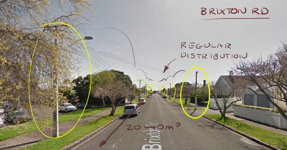
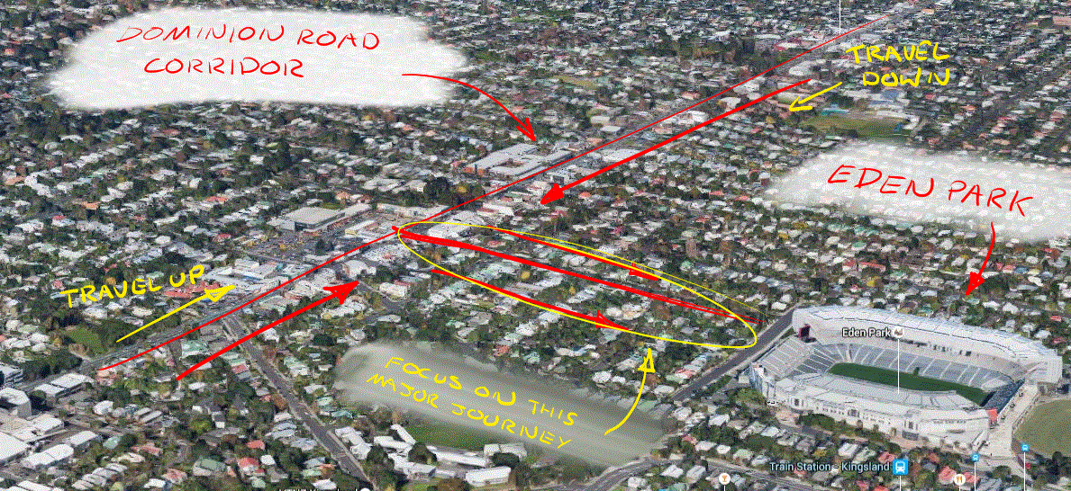
I chose to look down Dominion Road and the perpendicular side streets using Google Maps via the aerial views and also in first person view to identify street pole positions and distances. I thought this would be an easier and quicker method to gauge the information I needed, rather than walking or driving up and down the streets initially.
I looked at multiple side streets and found that there is no constant streetpole distance that I could pick up on. It tended to vary street by street depending on what amenities were located on each street. But most streets with regular streetpoles tended to be spaced at 30m. On other streets I could only see one streetpole.
This means I will either have to guarantee my solution will still be effective on streets with few streetpoles (wide angle lighting?), and if not I will just have to pick out certain streets that need my solution and allow its application.
Hence I started to focus on side streets leading to major attraction points on the corridor, such as Eden Park and the Chinese Restaurant District.
I will now visit Dominion Road again to evaluate my "overwatch" findings in person.




Comments